Caracol Mayan Ruin
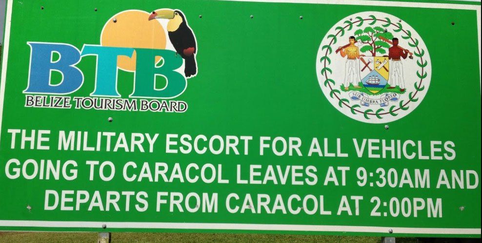
Caracol requires a long drive down a poor road deep into the Mountain Pine Ridge Forest Reserve. A guide is highly recommended, but not required. A military escort used to be required, but now the site is guarded by military personnel. This is because Caracol is remote and located near the Guatemala border, and Belize doesn't want any funny business down there.
At its peak, Caracol was much bigger and contained twice the population of modern Belize City.
Getting to Caracol:
- You can get there on your own, but a tour guide is highly recommended. Tours from many tour operators in Hopkins are available, and some you can book online:
Here are some resources to learn more:
- Caracol on Wikipedia - https://en.wikipedia.org/wiki/Caracol
Below you will find a nice video explaining more about Caracol:
When you look at the embedded google map below, notice how long that road is to get to Caracol. From Hopkins Google says it is an 8 hour round trip. But the Ruin is large and very cool, so it is worth it.